
Starting a Calhoun County Property Records Search
No single Calhoun County search joins the deed, assessment, tax bill, and map. An address is the easiest opener. The Assessor's free Property Record Search also accepts an owner name, account number, District, Map/Parcel, property type, legal description, or deed book and page. Copy those keys into the Clerk index, the tax portal, and the GIS. Names go in LAST NAME FIRST NAME order. Skip the comma. Each office keeps only its own slice. The Assessor's card is a tax record, and the Clerk's filed deed is evidence of a conveyance. The Sheriff's tax application shows a tax roll entry. GIS places the tax parcel on a reference map. Together these records help with purchase checks, family research, tax questions, and boundary context. They never replace a title review or survey.
- Search the Assessor by Parcel Address or by the owner's name in the required order.
- Save the Account number, District, Map/Parcel, legal description, and deed book/page shown for the match.
- Use the County Clerk's modern index for recent instruments and its historic indexes for older deed trails.
- Check the correct roll type and tax year in the Sheriff's tax search, then place the parcel in GIS.
- Ask the office that holds a needed instrument or map for inspection or a copy when the online record is incomplete.
Offices Behind Calhoun County Property Records
The County Clerk is the recorder. The Assessor keeps the property roll and maps. The Sheriff serves as tax collector and treasurer. The Circuit Clerk holds the court files, and the County Commission's minutes and Board of Review work run through the County Clerk. These offices trade property references. They keep no single common file. A tax payment question belongs to the Sheriff, while a deed image question belongs to the Clerk.
Calhoun County Recorder / Register of Deeds
P.O. Box 230
Grantsville, WV 26147
304-354-6725
Calhoun County Assessor / Appraisal District
P.O. Box 357
Grantsville, WV 26147
304-354-6958
Calhoun County Treasurer / Tax Collector
P.O. Box 240
Grantsville, WV 26147
304-354-6333
Record Sets in Calhoun County
Most Calhoun County questions get easier once the record type is clear. Deeds and plats go to the Clerk. Values and exemptions sit with the Assessor. Tax bills and delinquency sit with the Sheriff. The county GIS map works as a locating tool rather than a record of ownership. Permit and zoning questions inside Grantsville belong to the town, which publishes no public address-searchable permit portal.
| Record Type | What It Documents | Kept By | Access |
|---|---|---|---|
| Deeds and deeds of trust | Transfers, lenders, releases, and other filed instruments | County Clerk | Modern portal and historic index books; copy terms should be confirmed |
| Assessment card | Owner, address, parcel, class, value, and exemption details | County Assessor | Free public search; coverage year is not stated |
| Tax bill | Roll, year, payment, or delinquency entry | Sheriff / Treasurer | Public search by one selected key, roll type, and year |
| Plats and tax maps | Recorded lot layout and reference parcel geometry | Clerk / GIS | Laserfiche, county viewers, and state data source |
| Court file | Foreclosure, quiet-title, partition, or judgment case | Circuit Clerk | Odyssey search plus office copies, subject to court limits |
The Calhoun County deed records route covers the recorded transfer trail. The tax pages separate the assessment from the bill. For a first lookup, the Assessor's search is often fastest. It accepts the local account. It also takes parcel keys or a street address.
Calhoun County Clerk Index Years
The County Clerk splits its records into a modern portal and historic finding aids. The Self-Service Portal covers 1992 to present. Older Kofile indexes reach further back. Deeds run from 1845 to 1985. Deeds of trust run from 1911 to 1985. Probate runs from 1846 to 2005, and Commissioner's Court minutes run from 1849 to 2004. Those older ranges describe index coverage only. Every image is not guaranteed to be online. Ask the Clerk about the 1986 to 1991 transition and current image access.
The Clerk's records hub links more than the portal. It also connects Fraud Notify. It connects a Laserfiche collection of plats and Commissioner's Court records, and the Odyssey court search. Laserfiche may greet you with a cookie message that pre-fills sign-in data. The Clerk's instructions say to choose Sign Out, then use Browse and select County Clerk. That path reaches a town plat or commission minute a modern deed search will miss.
Treat the modern and older sources as separate search windows. Start with a recent deed in Self-Service. Then move the party name, book and page, and legal description into Kofile. Or ask the office for a copy. An index hit only identifies a document. The recorded instrument itself holds the exceptions, easements, and full legal description.
Open the Calhoun County Clerk's official records page before choosing a historic index. It displays the portal links and coverage notes, though the instrument itself still needs review.
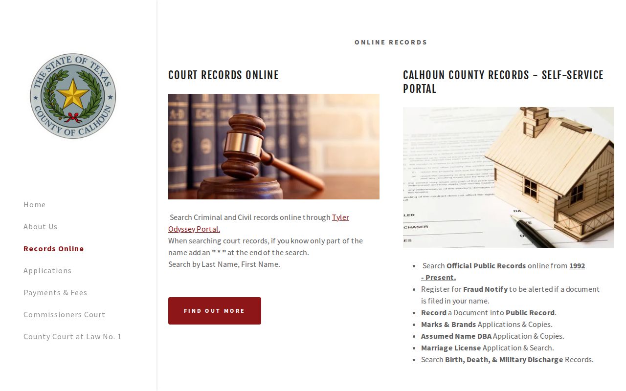
The split matters for any Calhoun County search. The 1992 portal covers later years, Kofile indexes reach older deed records, and Laserfiche holds the plats.
Calhoun County Assessor Search Fields
The Assessor's free search takes more than an owner. Its input page exposes Owner Name, Parcel Address, Account Number, District, Map/Parcel, Property Type, Legal Description, and Deed Book/Page. Filter options and matching behavior are not explained on the landing page. Do not assume a partial street search works. Use a known account or deed reference instead.
| Input | How It Helps | Local Note |
|---|---|---|
| Owner Name | Finds cards under a person or entity | Enter LAST NAME FIRST NAME, without a comma |
| Parcel Address | Starts from a situs address | Rural route or former street names may need a map check |
| Account / District / Map-Parcel | Targets an exact tax account or mapped tract | Copy the displayed punctuation and leading zeroes |
| Legal Description / Deed Book-Page | Connects the card to a filed instrument | Read the deed before treating the match as title proof |
Try the Assessor's Property Record Search with the strongest key you hold. The county's search page supplies the data without warranties. Coverage year is not stated. A parcel-card result can guide the next request, but the County Clerk remains the source for the deed image.
Calhoun County Tax Year and July Date
Timing explains a familiar puzzle. A deed shows one owner while the tax roll names another. The Assessor works from a July 1 assessment date. Tax books for a calendar year capture ownership, taxability, condition, and use. They record all of it as it stood on the prior July 1. Books close on a steady schedule: land and personal-property books finish by January 30, go to the Board of Review and Equalization by February 1, and assessed values are certified by March 3. Close on a sale after the snapshot. The earlier owner can still appear on the later bill.
The Assessor appraises property annually and generally applies 60 percent of market or appraised value. Class II covers owner-occupied residential and farm property. Class III covers other taxable property outside an incorporated municipality. Class IV covers the rest inside one. Grantsville is the county's only incorporated town, so town limits matter for classification. A class label alone never proves a named person lives at the parcel.
Homestead and farm-use rules can move the taxable figure too. Qualifying West Virginia residents who are at least 65 or totally and permanently disabled may claim a $20,000 homestead exemption. Applications run July 1 through December 1. Farm-use valuation rests on fair rental value and can sit far below market. Ask the Assessor for the card and current application. Do it when either program affects a value comparison.
Calhoun County GIS Is a Tax Map
The county GIS landing page gathers several map tools in one place. It links a mobile parcel viewer. County Info, an address lookup, a School District Finder, and a Flood Hazard Zone Viewer sit alongside it. The state WV Property Assessment Viewer adds a second map route. It shows surface tax parcel data. Use a map to orient a parcel. Compare the identifier on screen, then note nearby roads and districts. No layer is a legal survey. Map lines alone never settle a boundary question.
The state viewer explains its parcel number structure. A six-part root Parcel ID is built from county, district, map, prefix, suffix, and special ID pieces. Calhoun's Assessor instead uses separate District and Map/Parcel fields. The local format is not fully documented. Copy the parcel number from the card rather than rebuilding it from another county's example. Calhoun's map lines are best-fit reference geometry, and the state viewer shows surface parcels, not mineral parcels.
Visit the Calhoun County GIS choices page to pick the map suited to the question. It links parcel and address tools beside school and flood context, which helps place a rural address without treating any layer as ownership evidence.
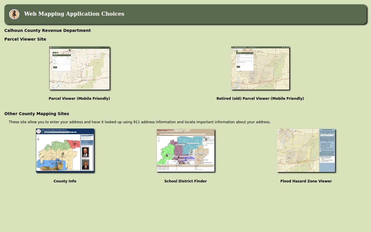
A GIS parcel is a fine way to link address, map, and account clues. The filed deed and plat still control the legal description.
Calhoun County's 1845 Deed Trail
Calhoun County split from Gilmer County in 1856. The Clerk's deed index still begins in 1845. Early dates therefore demand care about where an instrument was recorded at the time. A single tract can carry a pre-formation deed in Gilmer records, later Calhoun deeds, and a modern account number the old books never knew. Keep the recording county beside each date in a chain of title. Never assume every link lives in the present county office.
Grantsville adds its own land-history marker. Simon P. Stump platted the town in 1866. It became the county seat three years later. A downtown lot may carry a town-lot description rather than a modern street address. Search the Clerk's map and plat index for the original layout, then compare lot, block, road, and easement language with the current Assessor card and GIS location.
The city's property records remain county records. For a closer look at the original plat, the riverfront, the courthouse district, and rural 26147 mailing addresses, use the Grantsville property records page.
Requests Under West Virginia Chapter 29B
A portal will not show every instrument. A targeted request to the holding office works instead. West Virginia's Freedom of Information Act, W.Va. Code Chapter 29B, makes a custodian act as soon as practicable and within five days, excluding weekends and legal holidays. The response may hand over the record, arrange inspection or copying, or deny access in writing with reasons. Five days is only a response deadline. It does not promise a large archive search will be finished.
Name the record with enough detail to find it. Give a book and page, an account, a tax year, a map or plat reference, a case number, or a narrow date range. The custodian may charge actual reproduction cost. Search labor is not billable. Protected court, vital, voter, and safety-program information still has limits. Call before any in-person trip. Counter hours are not posted on the county pages.
For the Assessor, name an account and tax year. For the Clerk, ask for every page of a deed in a stated book and page, or a named plat record. For the Board, request the February meeting record tied to a specified property. A focused request hands the office a workable target and keeps the response tied to the record sought.
Calhoun County Record Limits
Records show what was filed, not what is true. That distinction matters in Calhoun County. Property records prove a deed was recorded, a parcel was assessed, or a tax bill was issued, but they cannot vouch for private side agreements. The Assessor gives no warranty on its data. The state map viewer carries a similar caution: its parcel lines are for tax reference only, not conclusive ownership evidence in court. Even a recorded deed deserves care. Read the full document for reservations, easements, and the legal description.
A boundary dispute calls for a licensed surveyor. Compare the deed and the recorded plat first, then let the surveyor locate the line on the ground. A title question belongs with a title professional who reviews the full chain and its exceptions. For a value dispute, begin with the Assessor and the February Board of Review and Equalization rather than treating GIS acreage or sale consideration as an appraisal.
Lawful use. Calhoun County property records support property research, due diligence, tax review, and civic use. Do not use an owner's information to stalk, harass, threaten, or harm anyone.
Calhoun County History Beyond the Index
Indexes run out of dates eventually. Older deed books need another route. In Calhoun County, offline history collections fill that gap. The public library's genealogy room and the Historical and Genealogical Society hold material far older than any online index. Their research room offers census material, county and community histories, cemetery records, family genealogies, school yearbooks, church histories, photographs, vital records, microfilm, and computer resources. Such holdings tie a deed name to a family, farm, or cemetery when a mailing address alone cannot identify the owner of record.
The library's roots are local. A Grantsville women's club started it in the 1930s. It later moved through local shops, a hotel, and the courthouse before opening its Mill Street building in 1968. The genealogy room arrived in the 1990s. The Society's History Center occupies the former Stump House Hotel at 342 Main Street, a circa-1885 building. Call the library or the Historical and Genealogical Society ahead of a visit, since neither posts its collection years online.
Start with the library's collection page for research hours and the location. The genealogy room then pairs naturally with the county's deed, probate, and plat indexes. Community context fills out a thin parcel trail.
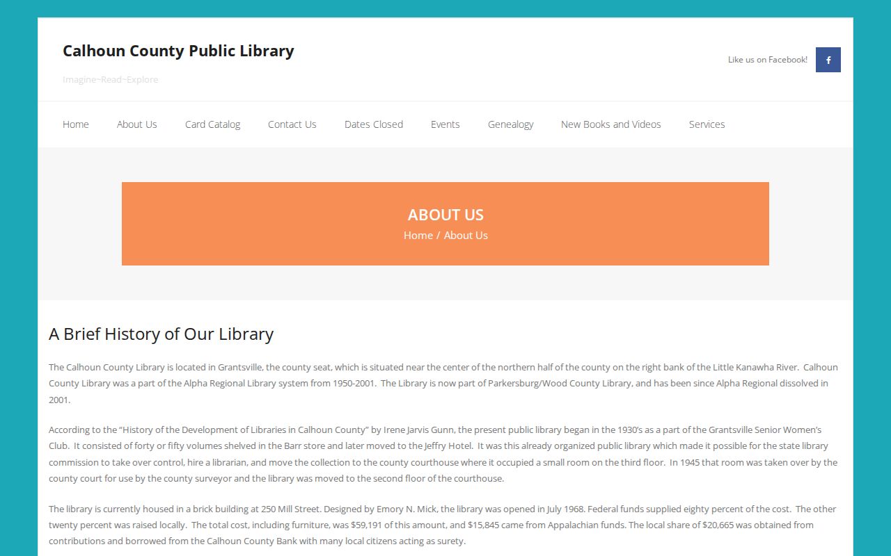
History collections add color to a search. A deed or probate record still confirms the actual transfer of a Calhoun County parcel.
What Calhoun County Property Records Can and Cannot Tell You
Property records answer many questions. A Calhoun County search can name the owner of record in the assessment roll, point to a deed filed with the Clerk, a tax bill, or a spot on the plat map. They can trace an estate transfer, flag an unpaid tax balance, or explain how a road relates to the land. They cannot do everything. No record guarantees clear title. None settles a boundary or predicts a sale price. Until the filed document itself is read, an index entry is only a clue.
Lawful use. Use these records for property research, purchase due diligence, tax review, history, and civic transparency. Do not use owner information to stalk, harass, threaten, or harm anyone.