
Reading Calhoun County Parcel Maps
Calhoun County publishes several map tools rather than one viewer. The GIS landing page links a mobile Parcel Viewer, a retired viewer, a County Info and address lookup, a School District Finder, and a Flood Hazard Zone Viewer. Each app answers a different question. Parcel polygons place a tax tract. Address lookup resolves a rural location, while district and flood views add context. A layer name never confirms ownership, zoning permission, or a survey line.
| Layer | What It Shows | Use |
|---|---|---|
| Tax parcels | Approximate parcel polygons and IDs | Locate the subject and surrounding tracts |
| Address / 911 | Address points and location context | Resolve rural or inconsistent address labels |
| School district | District boundary context | Cross-check a location, not ownership |
| Flood hazard | Hazard-zone context | Due diligence; not title evidence |
| County information | County reference layers and links | Orient the map and find related tools |
Take the displayed parcel number or address into the Assessor and Sheriff systems. The legal description is the key there. It leads to the matching deed or plat in the County Clerk's record. The Clerk holds the legal record. GIS is only the bridge between that record and the ground.
Calhoun County GIS Viewer Choices
Calhoun County treats GIS as a menu, not a single tool. The mobile parcel viewer sits apart from County Info. Address and 911 lookup, school district, and flood hazard views are listed too. A retired mobile viewer also appears on the list. Rely on the current link rather than an old bookmark, since retired viewers can stop working. Start at the Calhoun County GIS landing page to pick the right app. It is a plain link directory. Each application carries its own controls. Confirm measure, print, export, or buffer functions in the live viewer before counting on them. Match the layer to your question. The parcel viewer locates tax parcels. The 911 tool ties an address to a location. School district and flood hazard views each add their own geographic context. A layer's presence does not make it a deed or boundary record, so note which app you used when a map label matters to a later request.
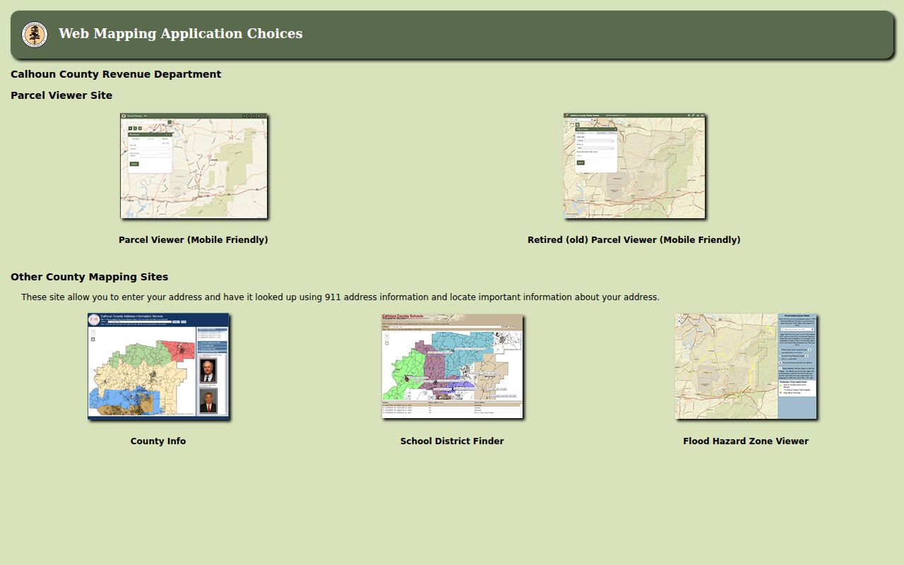
Use the county parcel viewer first. Switch tools only when another layer answers a separate question.
Finding a Calhoun County Parcel by Address
Rural addresses need a first step. The county's 911 address lookup can place the site before you select a parcel. Remember that the local map and the Assessor use separate identifiers. Copy the exact account and Map/Parcel value. Never rebuild the number from a statewide example. Calhoun's local segment order is not published.
- Use the County GIS landing page to open the current address or mobile parcel viewer.
- Search the address through 911 location tools and identify the parcel polygon if available.
- Copy the displayed ID and compare it with the Assessor's District, Map/Parcel, and Account fields.
- Use the County Clerk's plat or deed description to check the mapped tract, road, or lot relationship.
- Parcel ID
- A tax map identifier used to connect map geometry and assessment information.
- Plat
- A recorded map that may show lots, blocks, roads, and easements.
- Lot and block
- A platted description tied to a recorded subdivision map.
- Metes and bounds
- A description using calls, distances, and monuments to define land.
- Easement
- A right to use part of land, which may appear in a deed or plat.
Calhoun County Parcel ID Parts
The statewide viewer breaks the root Parcel ID into six elements: county code, district code, map number, parcel prefix, parcel suffix, and special ID. Variants drop pieces. GIS Parcel ID omits the special ID, while the CAMA or IAS format omits the county code. The Assessor shows District and Map/Parcel separately. Four visible slots make up the map/parcel group. Local segment order stays unpublished. Do not borrow another county's example. Copy the Calhoun card's string exactly, including leading zeroes, spaces, and hyphens. The state viewer warns that abbreviated IDs may strip formatting. When the county card and the statewide map use different forms, compare the underlying district and map components instead of treating the two strings as interchangeable.
Grantsville Plats and Town Lots
Grantsville's land pattern starts with Simon P. Stump's 1866 town plat. The town became the county seat in 1869. Old descriptions may cite Main Street or river-facing lots. A modern street address may not appear in an early deed. Search the Clerk's map and plat index for the lot, block, road, or replat. Then compare it with the current GIS position. The County Clerk links an Index to Map and Plat Record 1 and a Laserfiche collection for plats and Commissioner's Court records. A plat can reveal dedications, easements, and road layout. Read it beside the deed. A later map may alter a lot label while an earlier reservation still matters. No official roster of Grantsville subdivisions exists. The plat index is the place to verify a specific subdivision name.
Calhoun County Surface and Mineral Maps
The West Virginia Property Assessment Viewer shows surface parcels and tax-map geometry for Calhoun County. It does not show mineral parcels. That gap matters in Calhoun County. The county is threaded with oil and gas activity, timber stands, farms, and river corridors. Subsurface rights raise questions a surface map cannot answer. A deed may convey mineral interests separately from the surface estate. Do not assume the polygon includes everything below it. Read the recorded instrument and any reservation it references.
The viewer also warns that parcel lines are best-fit references drawn from deeds and surveys. They are not conclusive proof of ownership in court. Deeded acreage is the figure stated in the deed. Calculated acreage is only a GIS estimate. A measurement taken on screen can never replace the filed legal description. It can never replace a licensed survey either. The viewer publishes these limits alongside its annual update note. Treat the map as a starting point for a Calhoun County property search rather than a boundary determination.
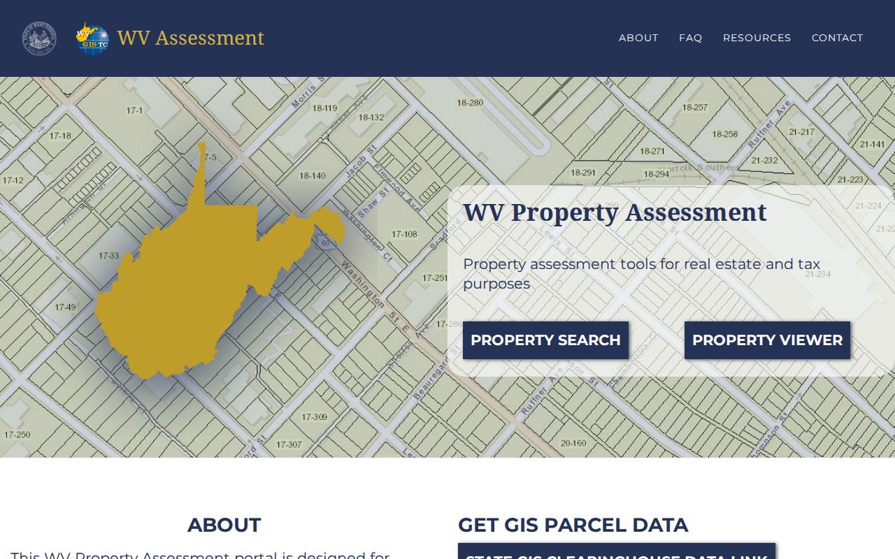
Use the map to find surface parcels first. Then confirm rights and boundary questions in the deed records and survey files, where the legally controlling answers live.
Calhoun County GIS Data Downloads
West Virginia makes digital surface tax maps and GIS files available for free download under SB 588. They come through the State Data Clearinghouse. The state coordinates the product with the Tax Division and the WV GIS Technical Center. Maps get annual updates. The clearinghouse publishes no Calhoun-specific metadata page. It does not confirm the geodatabase link, coordinate system, or whether ownership attributes are included. Check the dataset details before building any local analysis from a downloaded file.
The WV GIS Technical Center clearinghouse is the documented starting point for downloadable data. It serves statewide GIS files. It sits apart from the county's browser maps. Each dataset's metadata should be checked for a Calhoun-specific year.
A downloaded geometry file helps with analysis, but the current county assessment card and the recorded plat remain necessary checks.
Neighbor Lines on Calhoun County Maps
The GIS landing page advertises parcel mapping and address lookup. Its text does not confirm any adjacent-parcel, buffer, or select-by-location tool. The live viewer may let you select a parcel. Note each neighboring parcel number in that case. Search those accounts in the Assessor. Otherwise, work from visible parcel labels, tax maps, or the recorded plat. Pull each account individually. For a block-level workflow built around one known address, the dedicated neighbor lookup keeps the focus on identifying adjacent parcels instead of touring the full map.
A shared line on the map may trace an old survey call. It may also trace a road, a stream, or a ridge. Proximity is not proof. The map cannot establish a legal boundary, an easement, or an access right. Let the deed records settle those questions.
What Calhoun County Parcel Maps Do Not Prove
Calhoun County parcel maps exist for tax assessment and geographic reference. State and county map sources disclaim liability for errors and omissions. A line that looks exact on screen may be a best-fit estimate. Boundary disputes belong to the legal description, the recorded plat, and a survey when needed. Measuring a screenshot settles nothing.
Two routes cover this material. The county viewer is the practical way to locate a parcel. It runs in the current local interface. Separately, West Virginia offers free statewide digital surface-tax-map and GIS downloads under SB 588. They come through the State Data Clearinghouse, with annual map updates. The clearinghouse does not state the current Calhoun dataset year. It also omits the coordinate system and any included ownership attributes. Read the metadata before treating a download as a current parcel list or tax roll.
Not a survey. GIS geometry locates an assessment parcel, but it is not conclusive evidence of ownership or a legal line. Use the filed deed, plat, and a licensed survey for a ground boundary.